
We use crime statistics to identify trends, to make decisions about how to use our resources, and to measure how our enforcement and prevention initiatives are working.
You can get a general overview of what crime is happening in your neighbourhood with these interactive and easy-to-use mapping tools. The data is based on information in our records management system, and are subject to change based on the dynamic nature of police investigations. For example, someone may report an assault, but an investigation shows it was actually a robbery.
For more information, please see our FAQ section.
Accuracy of Statistics
Official crime statistics can be two to three months behind, as crime reports go through a quality control process to ensure they are reported and tabulated correctly.
The statistics provided on our site are accurate. Monthly summary statistics may change or differ slightly from the previous month’s data due to a number of reasons.
The data for these reports comes from PRIME (Police Records Information Management Environment). The offences reported can change daily, such as in these examples:
- If an assault victim has died, it is now considered a homicide
- A motor vehicle collision may change from a fatal to a sudden death if the Coroner finds the driver’s cause of death happened prior to the collision
- Some crimes, such as sexual assault, may not be reported for months or even years after they happened
Comparing Crime Statistics
The following data considerations must be taken into account when interpreting these statistics:
Ongoing data refinement
- late reporting of crime incidents
- reclassification of Uniformed Crime Reporting (UCR) offences
- reclassification of an offence while an investigation is ongoing
Number of offences – method of counting
Some statistics are reported using the “most serious offence method” and others use the “all violations method.”
It is important to note these differences when comparing crime statistics, as the two methods are not cross-comparable.
Changes to Statistics Canada offence codes
Statistics Canada redefines offence codes on an ongoing basis. It is important to take caution is when comparing statistics to previous years.
These considerations must be taken into account when comparing statistics presented, and account for inconsistencies that may be identified. The most recent data published will reflect these changes.
GeoDASH – Geographic Data Analysis & Statistics Hub
The data and statistical summaries provided in GeoDASH are not comparable to Statistics Canada reporting. Statistics Canada generally uses the “UCR survey” scoring rules, whereby only the Most Serious Offence (MSO) in an incident is counted. GeoDASH uses the all violations method. The two methods are not cross comparable.
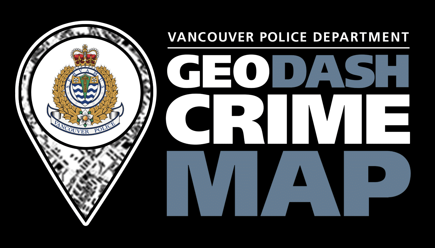
GeoDASH Map is an interactive mapping tool to pinpoint where crime is happening in the city. It provides valuable information about crime activity in your neighbourhood and lets you know if extra precautions should be taken.
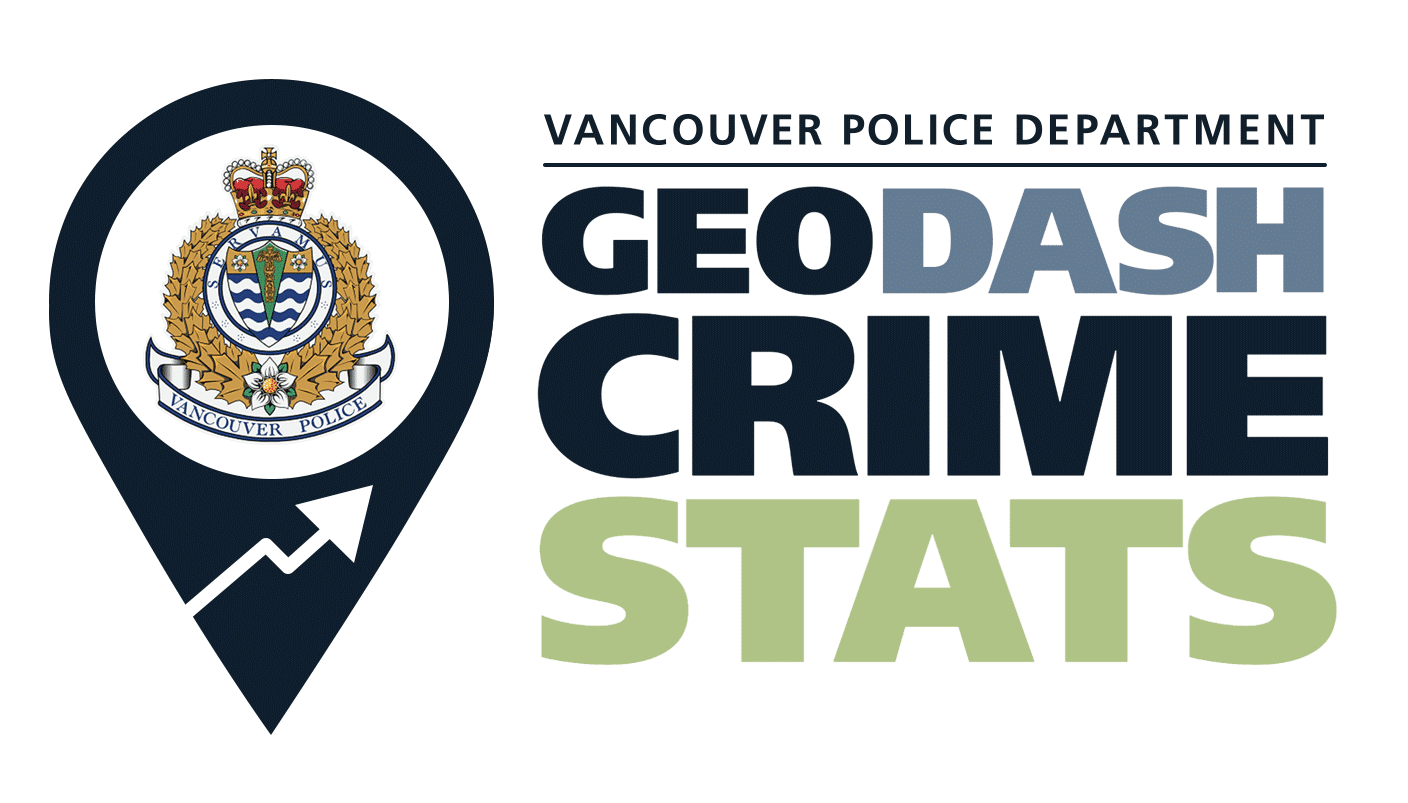
GeoDASH Stats will show you what types of crime and how many of those crimes are reported in Vancouver. You can see how crime is changing and whether your local area is experiencing an increase in certain crimes.
GeoDASH Open Data is intended for academic researchers, media, and other organizations interested in examining crime and police activity. Aggregate crime data can be downloaded for analysis and independent review.